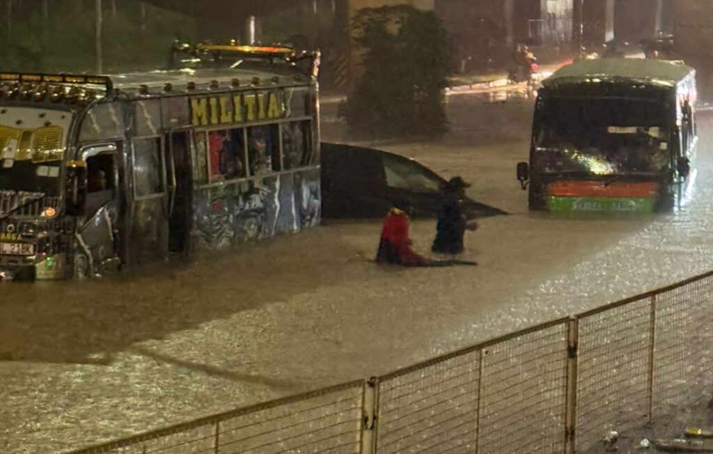
The Ministry of Interior has warned of a heightened risk of flooding in Nairobi following heavy rains currently being experienced in different parts of the country.
According to the ministry, the continued rainfall has increased the likelihood of flooding in both urban and rural areas, with Nairobi listed among the most affected regions.
A mapping exercise conducted under the Nairobi Rivers Regeneration Programme has identified at least 37 neighbourhoods located along major river corridors and low-lying areas that are vulnerable to flooding.
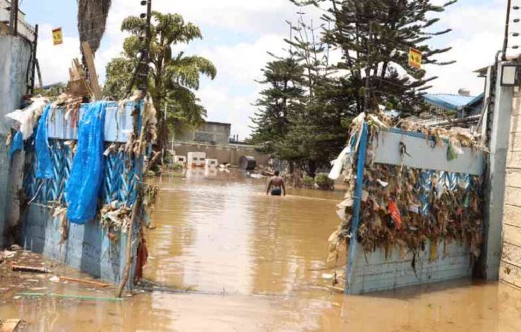
Heavy Rains Raise Flood Risk in Nairobi as 37 Neighbourhoods Identified as Vulnerable. Photo: Courtesy.
In Nairobi East, the areas identified include Kiambiu, Dandora, Kariobangi, Kayole, Komarock, Njiru, Ruai, Mwiki, Donholm, Savannah, Tassia, and Fedha.
Many of these neighbourhoods lie downstream along sections of the Nairobi River and its tributaries.
In Nairobi West, flood-prone areas include Madaraka, Nairobi West, Lang’ata, Kawangware, Kangemi, Lavington, Westlands, Parklands, Kitisuru, Spring Valley, Kileleshwa, and Chiromo, which are located along upstream and midstream sections of the river network.
In the Nairobi North corridor, neighbourhoods such as Mathare, Korogocho, and Lucky Summer were identified along the Mathare River, where densely populated settlements border the riverbanks.
Within Nairobi Central, key locations along the river corridor include the Central Business District (CBD), Globe, Gikomba, Eastleigh, and the Industrial Area, where parts of the Nairobi River flow through.
Meanwhile, in Nairobi South, the mapping highlighted Kilimani, Kibera, South C, South B, Mukuru Kwa Reuben, and Kwa Njenga, many of which are located along the Ngong River corridor.
The Ministry of Interior said multi-agency disaster response teams are continuing to coordinate relief and response efforts, urging residents living near riparian and low-lying areas to remain vigilant and prioritize their safety during periods of heavy rainfall.