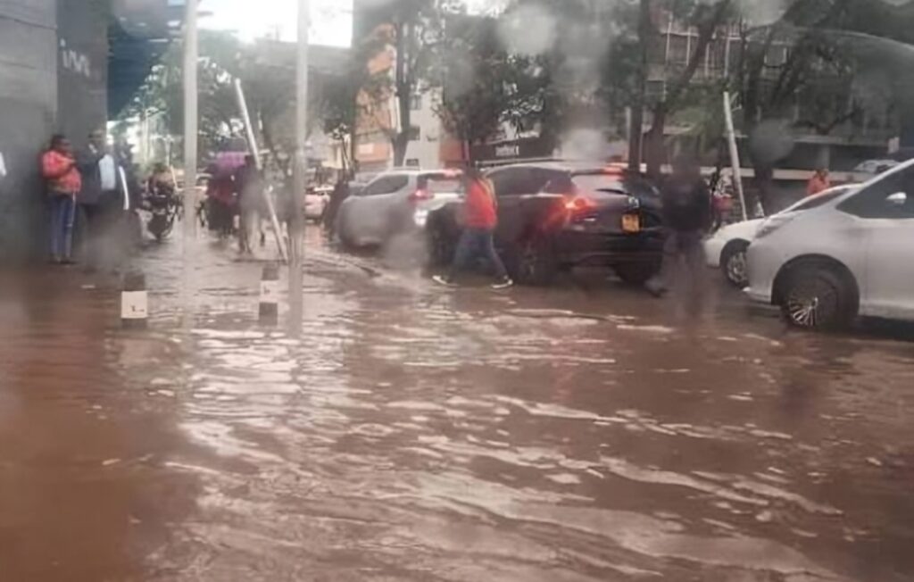
The National Police Service (NPS) has cautioned of possible flooding in over 10 Nairobi estates as heavy rains continue to cause disruptions across the country.
In a statement on April 29, 2026, NPS said it is on high alert, alongside other government agencies, as persistent rainfall has rapidly raised water levels in key waterways.
“Within Nairobi, the situation is further exacerbated by rapidly rising water levels in major rivers, including the Nairobi, Mathare, Ngong, Kamiti and Athi rivers. These waterways all drain into the larger Athi River system, which is currently running at critically high levels,” NPS stated.
According to NPS, several neighbourhoods within range of the identified rivers are facing an increased risk of flooding, and residents have been urged to take caution.
Areas at risk near the Nairobi River include estates in Kileleshwa, Lang’ata, Ngara, Madaraka, Eastleigh and Kawangware.
Flood risks are also high in southern areas of the city, such as Kibera and South C, which lie along the Ngong River.
Additionally, rising water levels in both the Kamiti and Athi rivers are expected to affect the Kasarani area, while Mathare would also be affected by its eponymous river.
Other areas include Tatu City, Ruiru, Kitengela, Mlolongo and Syokimau, which are near Athi River.
Sections of the Central Business District (CBD), Gikomba, Globe and Industrial Area are experiencing flooding risks as parts of the Nairobi River pass through them.
Furthermore, Kilimani, Westlands, Mukuru Kwa Reuben and Korogocho are also among the affected areas.
In response to the matter, NPS has advised the public to take extreme caution when travelling due to waterlogged roads and poor visibility, significantly increasing the risk of accidents.